
Weather 101 / History
Hurricane Floyd 1999: The Rain That Flooded the Raritan Valley
When people in Somerset County talk about "the flood," many of them still mean Floyd. On September 16, 1999, what was left of Hurricane Floyd raced up the coast and dropped more than a foot of rain on parts of central and northern New Jersey. The wind was not the story. The water was. In this article we walk through what happened, using the National Hurricane Center's official report, U.S. Geological Survey river records, the National Weather Service river forecast center, and the Office of the New Jersey State Climatologist at Rutgers.
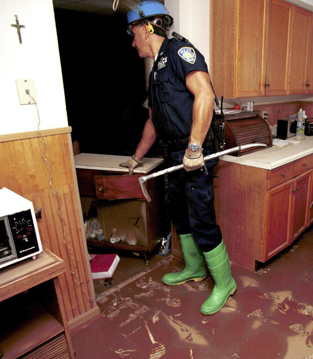
A big hurricane that weakened, then kept raining
Floyd was a large and powerful hurricane. It made landfall near Cape Fear, North Carolina, early on September 16 as a Category 2 hurricane, with top winds near 105 mph. From there it sped north-northeast, weakening as it went. The State Climatologist notes that it was downgraded to a tropical storm just before reaching the waters off Cape May, and its center passed within about 10 miles of the South Jersey coast that evening. By about 8 PM it had reached Long Island, moving at roughly 33 mph.
A fast storm usually means less rain in any one spot. Floyd broke that rule. A front had stalled from the northern Delmarva across central and northeastern New Jersey, and Floyd's warm, soaked air ran up and over it. The heaviest rain stayed nearly in place for about 12 hours. Oddly, New Jersey was in a drought emergency the morning Floyd arrived. It was lifted shortly after the storm.
How much rain fell
The State Climatologist reviewed close to 200 rain reports. At least one station in 12 of New Jersey's 21 counties topped 8 inches, and some towns in seven counties got more than 10 inches. The heaviest totals fell in Passaic and Essex counties and in the Raritan basin:
- Pompton Lakes (Passaic County): about 14.45 inches
- Maplewood (Essex County): about 14.29 inches
- Little Falls (Passaic County): about 14.13 inches
- Wayne (Passaic County): about 12.1 inches
- Cedar Grove (Essex County): about 11.9 inches
- Raritan basin: about 8 to 10 inches across most of its western two-thirds, locally 11
The hurricane center's report lists 13.34 inches at Somerville. Rutgers set aside a nearby automated Somerville reading because it was far higher than 15 other gauges close by, which shows why one rain gauge can mislead. Floyd's rain made September 1999 the wettest September in New Jersey since statewide records began in 1895, with a statewide average of about 9.5 inches.
Across the river, Philadelphia set a record for the most rain in a single calendar day, 6.63 inches, and finished with 9.34 inches. In New York, Central Park had 5.02 inches and White Plains 6.26 inches.
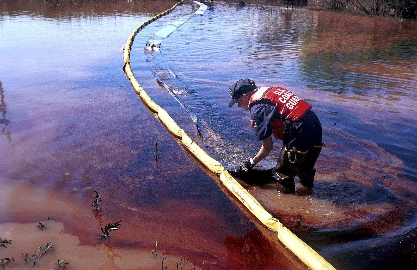
Record crests at Manville and Bound Brook
Rain that heavy over Hunterdon, Somerset and Morris counties has to go somewhere, and much of it went into the Raritan River and its biggest branch, the Millstone. The two rivers join at Manville, and the Raritan then flows on to Bound Brook. When both rise at once, those towns sit right where the water comes together.
- Raritan River at Manville: crested at 27.1 feet on September 16, 13 feet above flood stage, with a flow of 77,600 cubic feet per second. USGS lists it as the gauge's peak of record.
- Raritan River at Bound Brook: crested at 42.13 feet on September 17, about 14 feet above flood stage, with a flow of 82,900 cubic feet per second. That beat the old record from Tropical Storm Doria in 1971 by about 4.5 feet.
- Millstone River at Blackwells Mills: crested at 21.01 feet on September 17, 12 feet above flood stage.
The river forecast center's summary says the Bound Brook crest put 12 feet of water on Main Street and drowned three people. Manville "was hit nearly as hard." The USGS counts 18 active river gauges in the Raritan, Rahway, Elizabeth, Passaic and Hackensack basins whose highest flows on record came from Floyd. The Passaic and its tributaries flooded too, with major flooding on the Pompton River at Pompton Plains, the Saddle River at Lodi and the Passaic at Little Falls. In Bucks County, Neshaminy Creek at Langhorne reached 21.91 feet, more than 12 feet above flood stage.
The State Climatologist has written that Floyd, Irene and Ida "will be inextricably linked" as the three largest floods in the Raritan basin, certainly over the past century. You can read about the others in our articles on Irene in 2011 and Ida in 2021.
The human toll
The National Hurricane Center counted 56 deaths in the United States caused directly by Floyd. Six were in New Jersey and six in Pennsylvania, with two in New York. The center noted that "Most of these deaths were due to drowning in freshwater flooding." At the time, Floyd was the deadliest hurricane in the United States since Agnes in 1972.
In New Jersey, the State Climatologist's review of NOAA records lists 6 deaths, numerous dangerous rescues, about 25,000 people evacuated and damage close to $1 billion. A water plant serving more than 500,000 people was flooded and out of service for a week. Nationwide, the hurricane center puts Floyd's damage at $6.9 billion.
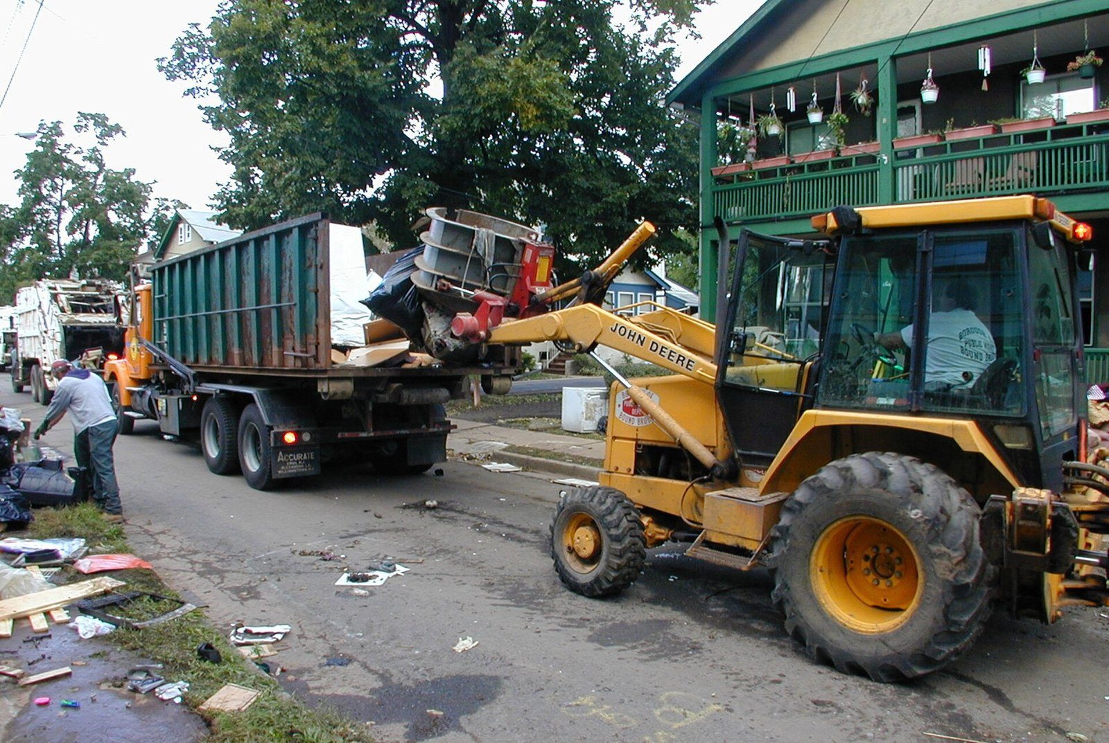
The lesson: water, not wind
By the time Floyd reached New Jersey, it was a tropical storm. Winds gusted to around 50 mph at Newark and Sandy Hook, which is strong but not destructive by hurricane standards. If people had judged the storm by its category, they might have shrugged it off. Instead, the rain sent the Raritan to the highest crests ever recorded at Manville and Bound Brook.
- Category is about wind: it says nothing about rain. A tropical storm can flood worse than a hurricane.
- Rivers crest late: Bound Brook and Blackwells Mills peaked on September 17, after the rain had ended.
- Turn around, don't drown: never drive or walk into a flooded road. See our guide to flash flood safety.
Could it happen again?
It already has. Irene in 2011 brought the Raritan at Bound Brook within about two-tenths of a foot of Floyd's record, and Ida in 2021 set a new record at Manville. Towns along the Raritan, Millstone, Passaic, Pompton and Ramapo rivers will see big floods again whenever a rain-heavy tropical system crosses our area.
What you can do today: know whether your home, school or commute crosses a flood-prone river, and pay attention to Flash Flood Watches and Warnings when a tropical storm is coming (here is what the difference means). When a tropical system heads our way, the rain forecast matters at least as much as the wind forecast, and we will always tell you both.
- Preliminary Report: Hurricane Floyd, 7-17 September 1999 (National Hurricane Center)
- Hurricane Floyd Rainfall in New Jersey, D. A. Robinson, 12th Conference on Applied Climatology, 2000 (Office of the NJ State Climatologist)
- Flood Event of 9/16/1999 - 9/18/1999 (NWS Middle Atlantic River Forecast Center)
- Hurricane Irene and Associated Floods of August 27-30, 2011, in New Jersey, Scientific Investigations Report 2013-5234 (U.S. Geological Survey)
- Once Again, Summer is Slow to Depart: September 2018 Recap (Office of the NJ State Climatologist)
- Ida Remnants Strike New Jersey (Office of the NJ State Climatologist)
For dangerous weather, always follow official National Weather Service warnings and your local emergency officials.