
What we post / Airport Delays
Airport Delays
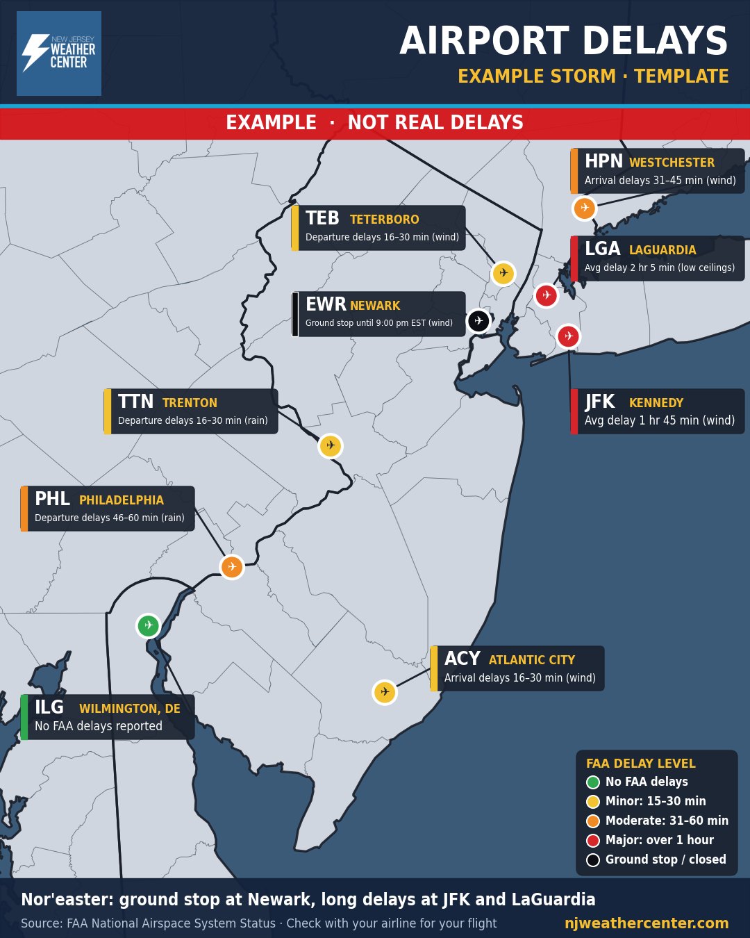
Example map. These delays are made up to show what the map looks like. They are not real delays.
What it shows
How a storm is affecting flights at the airports around us: Newark, JFK, LaGuardia, Westchester County, Teterboro, Philadelphia, Trenton-Mercer, Atlantic City and Wilmington, Delaware.
How to read it
- Each airport is colored by its worst FAA delay: green means no FAA delays, yellow is minor (15–30 minutes), orange is moderate (31–60 minutes), red is major (over an hour), and black is a ground stop or a closed airport.
- The box next to each airport says what's happening: departure or arrival delays and how long, an average delay, or a ground stop, plus the reason (wind, low clouds, thunderstorms).
- A ground stop means flights headed to that airport are held at their departure airports until it's lifted.
- The FAA only reports delays caused by air traffic and weather programs. Your own flight can still be delayed or canceled by the airline, so always check with your airline.
When we post it
During storms and big weather days that slow down air travel, updated as conditions change.
Where the numbers come from
Delays come from the FAA's official National Airspace System Status. Times on the map are when the FAA last updated it. For dangerous weather, always follow official National Weather Service warnings and your local emergency officials.