
Tornado Warning for the Wilmington area until 1:45 PM: take cover now
Archived post. This was posted Thu, Nov 12, 2026, 1:32 PM ET and has been replaced by newer information. It's kept for reference, not current conditions. For the latest, see the homepage.
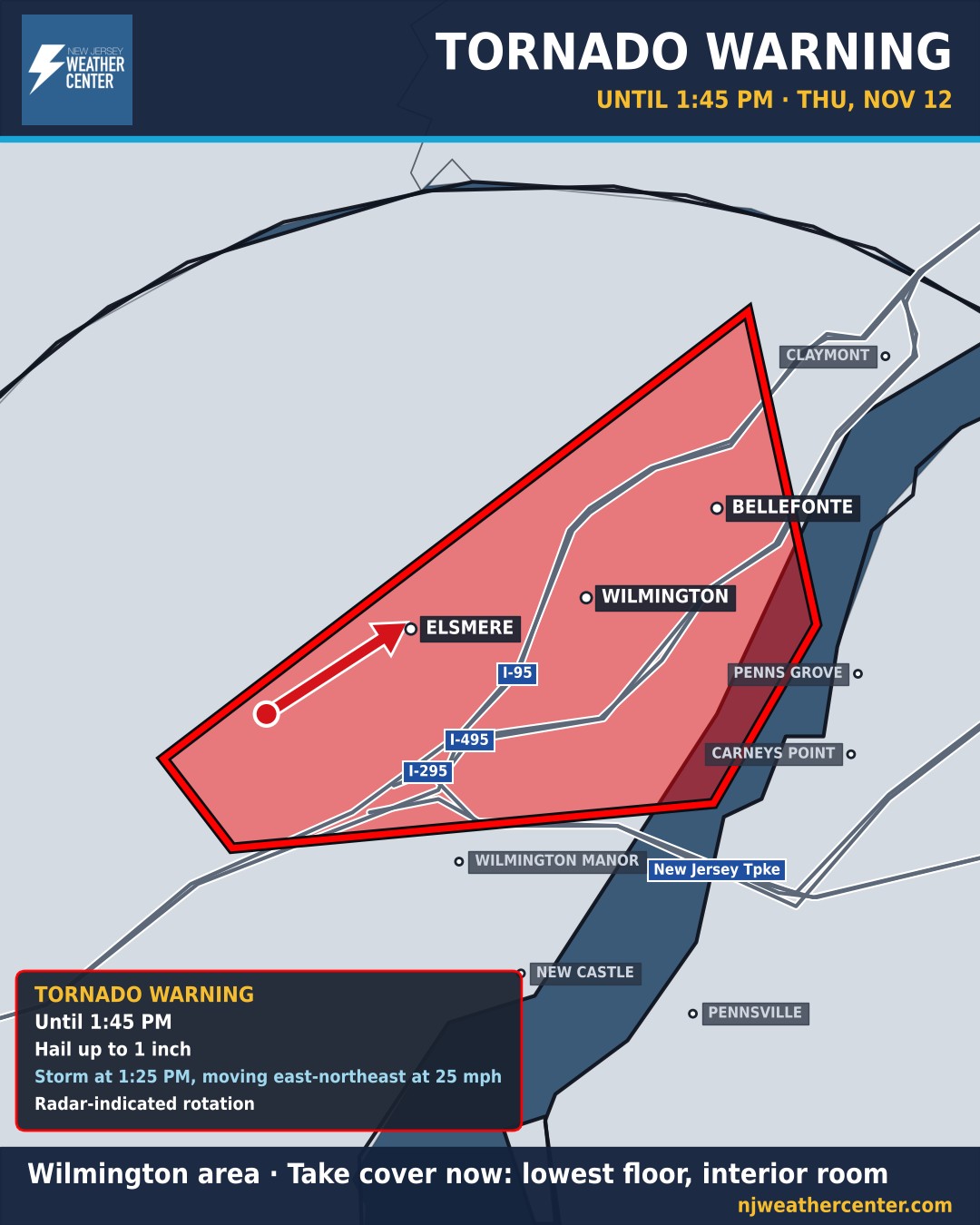
TAKE COVER NOW if you're in the warning. The National Weather Service in Mount Holly issued a Tornado Warning for the Wilmington area until 1:45 PM. At 1:25 PM, radar showed a storm capable of producing a tornado over Stanton, near Wilmington, moving northeast at 25 mph, with hail up to an inch across.
Go to a basement or an interior room on the lowest floor of a sturdy building, away from windows. If you're on I-95 or outdoors, get to the closest sturdy building. Flying debris is the biggest danger; roofs, windows and cars can be damaged, and trees can come down.
The storm is heading toward the Delaware River. Salem and Gloucester counties in South Jersey, including Penns Grove and Carneys Point, should be ready in case a new warning is issued as it crosses. They're already in the Tornado Watch until 7 PM.
The warning covers Wilmington, Elsmere, Newport, Stanton, Wilmington Manor, Bellefonte and Edgemoor, and I-95 in Delaware between mile markers 9 and 19.