
Mid November looks seasonable, with a drier lean
Archived post. This was posted Fri, Nov 6, 2026 (for Nov 14–20) and has been replaced by newer information. It's kept for reference, not current conditions. For the latest, see the homepage.
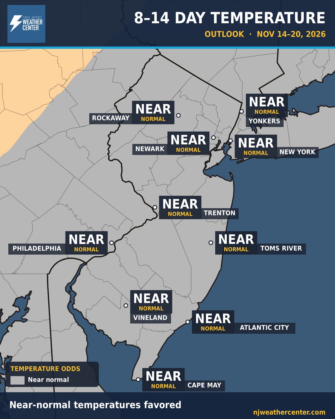
This is the big-picture look at Nov 14–20. It's not a day-by-day forecast. Think of it like the odds on a game: NOAA's Climate Prediction Center gives the chance that the week as a whole runs warmer, colder, wetter or drier than normal for this time of year.
Temperatures: Near normal is the best bet for all of us, from Rockaway and NYC down to Cape May.
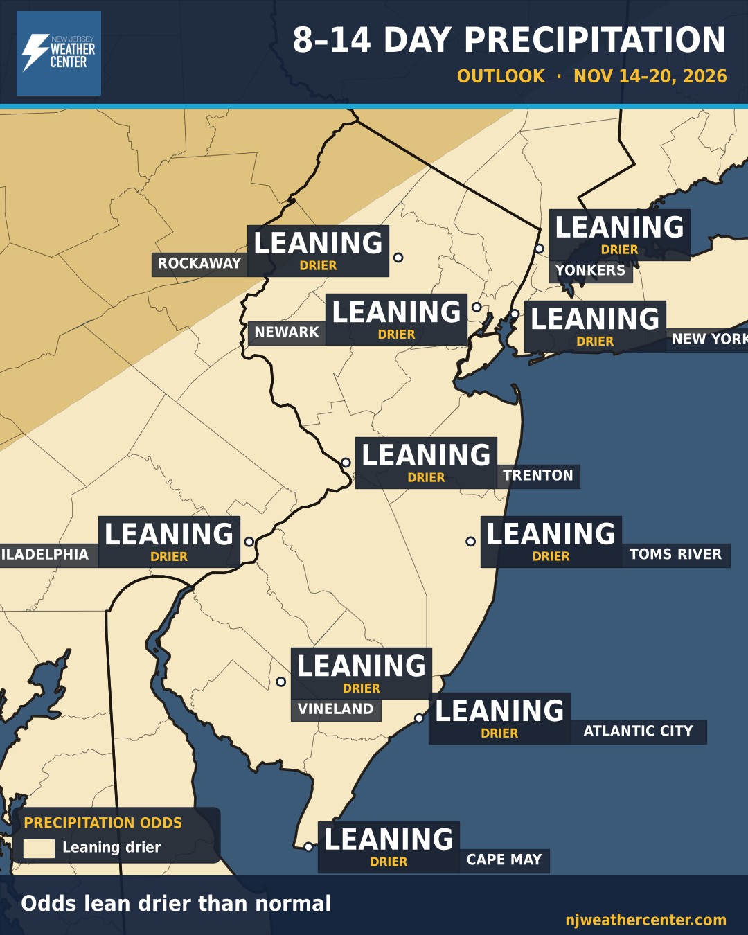
Rain: The odds lean drier than normal for all of us, from Rockaway and NYC down to Cape May. These are odds for the week as a whole, not a promise for any one day.
What it means for your town
| Town | Temperature, Nov 14–20 | Precipitation, Nov 14–20 |
|---|---|---|
| Rockaway | Near normal | Leaning drier than normal |
| Yonkers | Near normal | Leaning drier than normal |
| Newark | Near normal | Leaning drier than normal |
| New York | Near normal | Leaning drier than normal |
| Trenton | Near normal | Leaning drier than normal |
| Philadelphia | Near normal | Leaning drier than normal |
| Toms River | Near normal | Leaning drier than normal |
| Vineland | Near normal | Leaning drier than normal |
| Atlantic City | Near normal | Leaning drier than normal |
| Cape May | Near normal | Leaning drier than normal |
New to these maps? Here's how to read the 8–14 day outlook. For the days before that, see the 7-day forecast.