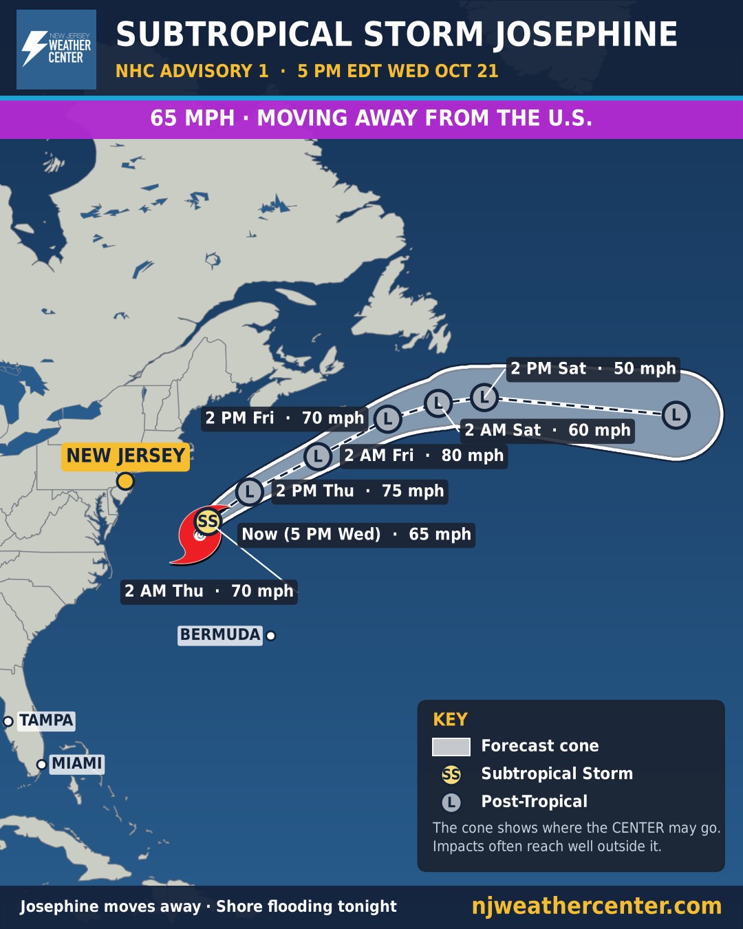
Subtropical Storm Josephine forms off the coast, heads away from the U.S.; coastal flooding at the Jersey Shore tonight
Archived post. This was posted Wed, Oct 21, 2026, 5:26 PM ET and has been replaced by newer information. It's kept for reference, not current conditions. For the latest, see the homepage.
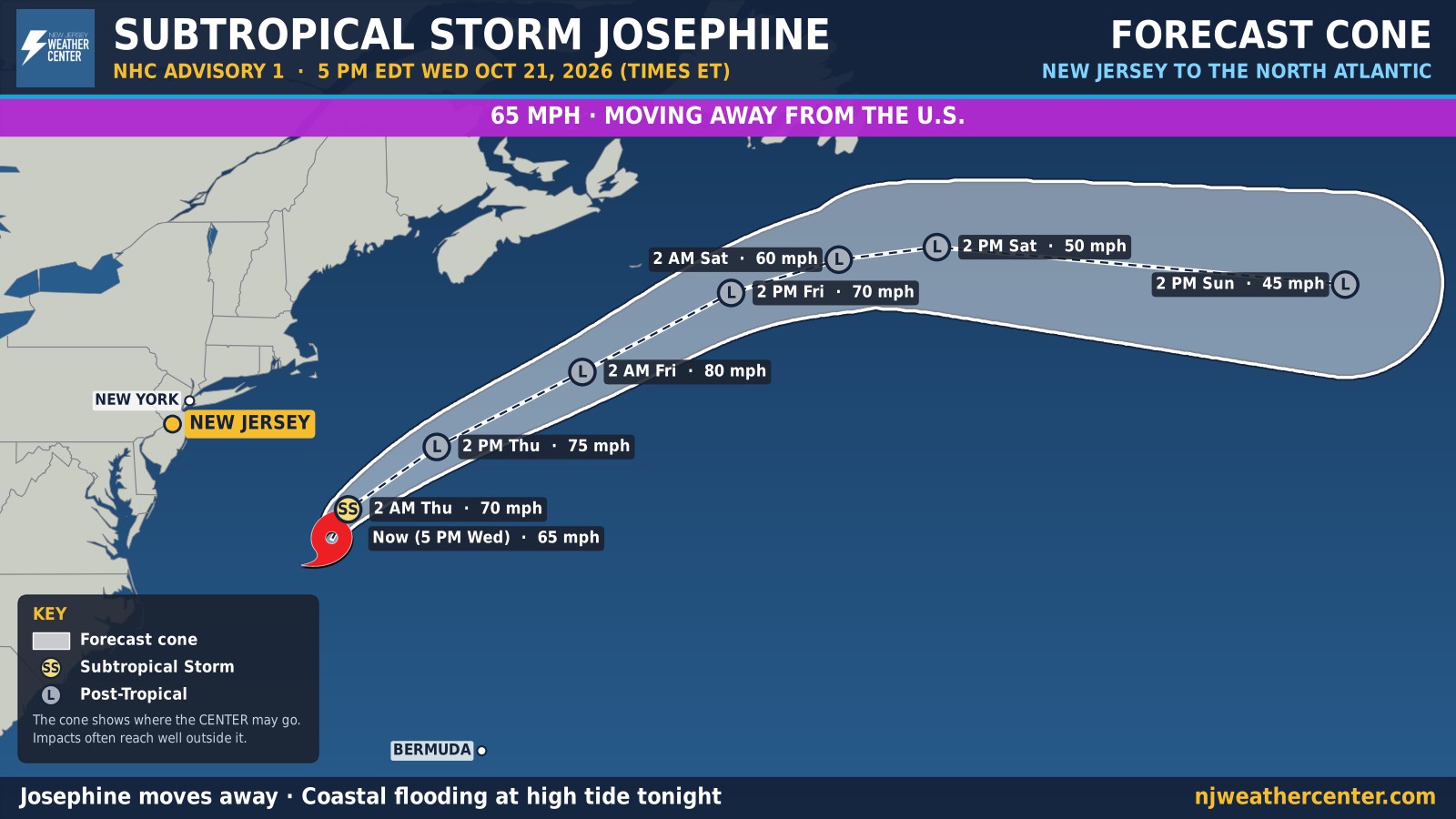
Subtropical Storm Josephine formed at 5 PM Wednesday from the nor'easter we've been tracking off the coast (Invest 93L). The National Hurricane Center's first advisory puts Josephine about 265 miles south of Nantucket, with maximum sustained winds of 65 mph and a pressure of 990 mb, moving north at 6 mph.
Where it's going: Josephine turns northeast and speeds up on Thursday, taking it away from the United States and south of Nova Scotia and Newfoundland. It may strengthen a bit first: the NHC expects it to become a post-tropical storm with hurricane-force winds by late Thursday, out over the open Atlantic, before weakening over colder water and being absorbed by a larger storm in about four days. There are no coastal watches or warnings.
What it means for NJ, NYC and Philly: the storm stays well offshore, but the Jersey Shore still feels it tonight. A Coastal Flood Advisory is in effect until 10 PM for Ocean, Atlantic, Cape May and southeastern Burlington counties (and Salem County along the Delaware), and the National Weather Service in Mount Holly says water levels peak with this evening's high tide, with widespread minor flooding from Ocean County south. Minor flooding was also possible this evening in Hudson, eastern Essex and eastern Union counties and on Staten Island.
Stay out of the ocean. Large swells from Josephine are reaching the whole East Coast, and the NHC warns of life-threatening surf and rip currents. Gusty winds along the coast ease as the storm pulls away Thursday, and inland stays dry.
The next full advisory is at 11 PM. We'll update the cone after each new advisory while Josephine is active.