
Invest 93L: nor'easter off the East Coast could turn subtropical, coastal flooding at the Jersey Shore
Archived post. This was posted Mon, Oct 19, 2026, 10:18 PM ET and has been replaced by newer information. It's kept for reference, not current conditions. For the latest, see the homepage.
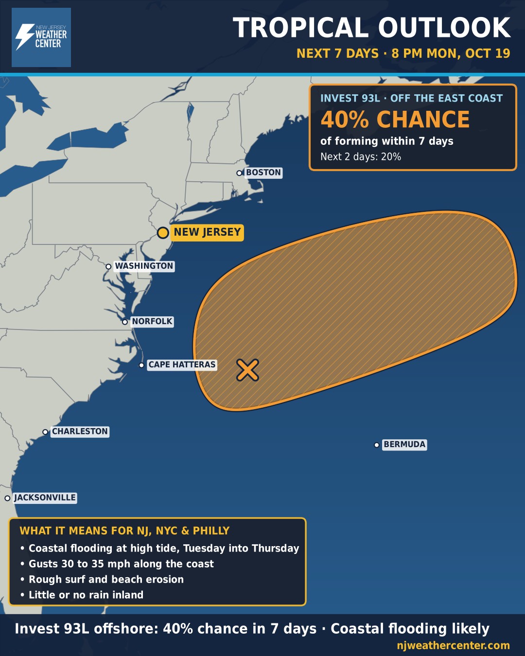
The National Hurricane Center is watching Invest 93L, a strong nor'easter churning a few hundred miles off the Southeast coast. Right now it's a non-tropical storm attached to a front, but as it drifts slowly north-northeast over the warm Gulf Stream it could develop organized thunderstorms and briefly take on subtropical characteristics by the middle to end of the week. The NHC gives it a 20% chance within 2 days and 40% within 7 days. It's expected to head out to sea later in the week, and conditions turn unfavorable for development by the weekend.
Either way, the Jersey Shore feels it this week. A persistent, strong northeast wind will push water toward the coast, bringing several rounds of coastal flooding at high tide from Tuesday into Thursday. A Coastal Flood Advisory is in effect from 3 to 9 PM Tuesday for Ocean, Atlantic, Cape May and southeastern Burlington counties, and more advisories are likely for later high tides. The National Weather Service in Mount Holly says Wednesday evening's high tide looks like the one of most concern.
Along the immediate coast, expect gusts of 30 to 35 mph, rough surf and some beach erosion. Inland, impacts look limited: the storm stays far enough offshore that little or no rain is expected away from the coast.
We'll update this as the National Hurricane Center issues new outlooks (every 6 hours) and if the system becomes a named storm.