
Weather 101 / Radar
How to Read Weather Radar: Rain, Hail and Rotation
Radar is how forecasters see storms in real time. Our warning maps put National Weather Service radar right under each warning, so it helps to know what you're looking at.
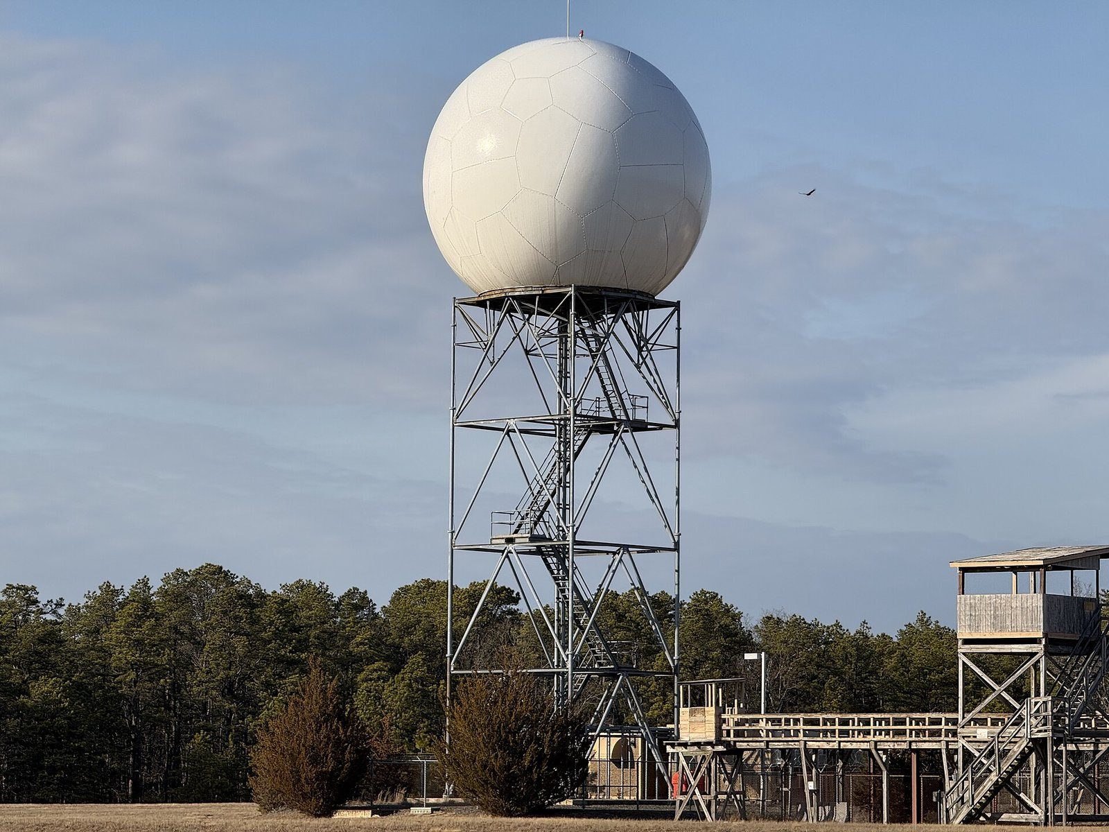
Where the radar comes from
The National Weather Service, the FAA and the Air Force run a network of about 160 Doppler radars across the country, called NEXRAD. Two of them watch over our area: one at Fort Dix in Burlington County, run with the Mount Holly office, and one at Upton on Long Island, run with the New York office. Each one sends out a beam that sweeps around and bounces off raindrops, hail and snow.
Reflectivity: how hard it's raining
The usual radar map shows reflectivity, how much of the beam bounces back, measured in a unit called dBZ. The more and bigger the drops, the higher the number and the "hotter" the color:
- Green: light rain.
- Yellow and orange: moderate to heavy rain.
- Red: very heavy rain, often in a thunderstorm.
- Pink and purple: extremely heavy rain or, very often, hail.
Different websites use slightly different colors, because there's no single required color scale. Always check the key on the map you're reading.
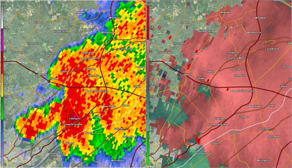
Velocity: which way the wind is blowing
Doppler radar can also measure whether raindrops are moving toward or away from the radar. On a velocity map, green means toward the radar and red means away. When a bright green area sits right next to a bright red one, the wind is blowing in opposite directions over a short distance: the storm is spinning. That's the signature forecasters look for when they issue a Tornado Warning based on radar.
Rotation on radar doesn't always mean a tornado is on the ground, and a tornado can form quickly without a clear signature. That's why we always tell you exactly what the National Weather Service has issued, and why you should act on its warnings right away.
Radar-estimated rainfall
NOAA also uses radar to estimate how much rain has fallen. It's what our Flash Flood Warning maps show. These estimates come out within minutes but are preliminary: radar can over- or under-estimate rain, especially far from the radar or in heavy hail. Official totals come later from rain gauges and observers.
For dangerous weather, always follow official National Weather Service warnings and your local emergency officials.