
Weather 101 / Seasons
Frost Advisory vs. Freeze Warning: What Your Garden Needs to Know
Every spring and fall, the National Weather Service starts sending out frost and freeze alerts across New Jersey. They're some of the most common alerts we get, and they're aimed at one group above all: anyone with plants outside.
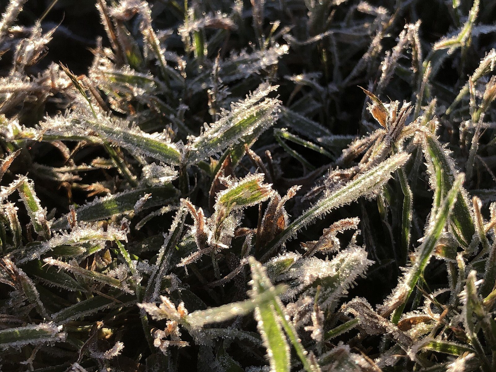
Frost and freeze aren't the same thing
Frost is ice crystals that form on surfaces (grass, car windshields, leaves) when they cool below freezing and the moisture in the air freezes onto them. A freeze is when the air itself drops to 32° or colder.
Here's the part that surprises people: you can get frost when the forecast low is 34 or 35°. Official temperatures are measured about 5 to 6 feet off the ground. On a clear, calm night, the ground and everything on it lose heat to the sky and can be several degrees colder than the air at that height. The thermometer says 35, but the grass is at 31 and covered in frost.
The two alerts
- Frost Advisory: widespread frost is expected, usually on a clear, calm night with lows in the low to mid 30s. Tender plants can be damaged or killed.
- Freeze Warning: the air is expected to drop to 32° or colder. That can kill tender plants outright and end the growing season for annuals and most vegetables. A hard freeze (upper 20s or colder for a few hours) can even hurt hardier plants and unprotected outdoor pipes.
The exact thresholds can vary a little from one NWS office to another, but the idea is the same everywhere: a frost advisory means cover your plants, and a freeze warning means bring them in or expect to lose them.
Why the alerts stop in late fall
Frost and freeze alerts only go out during the growing season. Once an area has had its first widespread freeze in the fall, the growing season there is considered over, and the NWS stops issuing them for that area until spring. That's why frost and freeze alerts can keep going out for South Jersey and the shore after the northwest hills have stopped getting them. It isn't warmer up north. The season there just ended sooner.
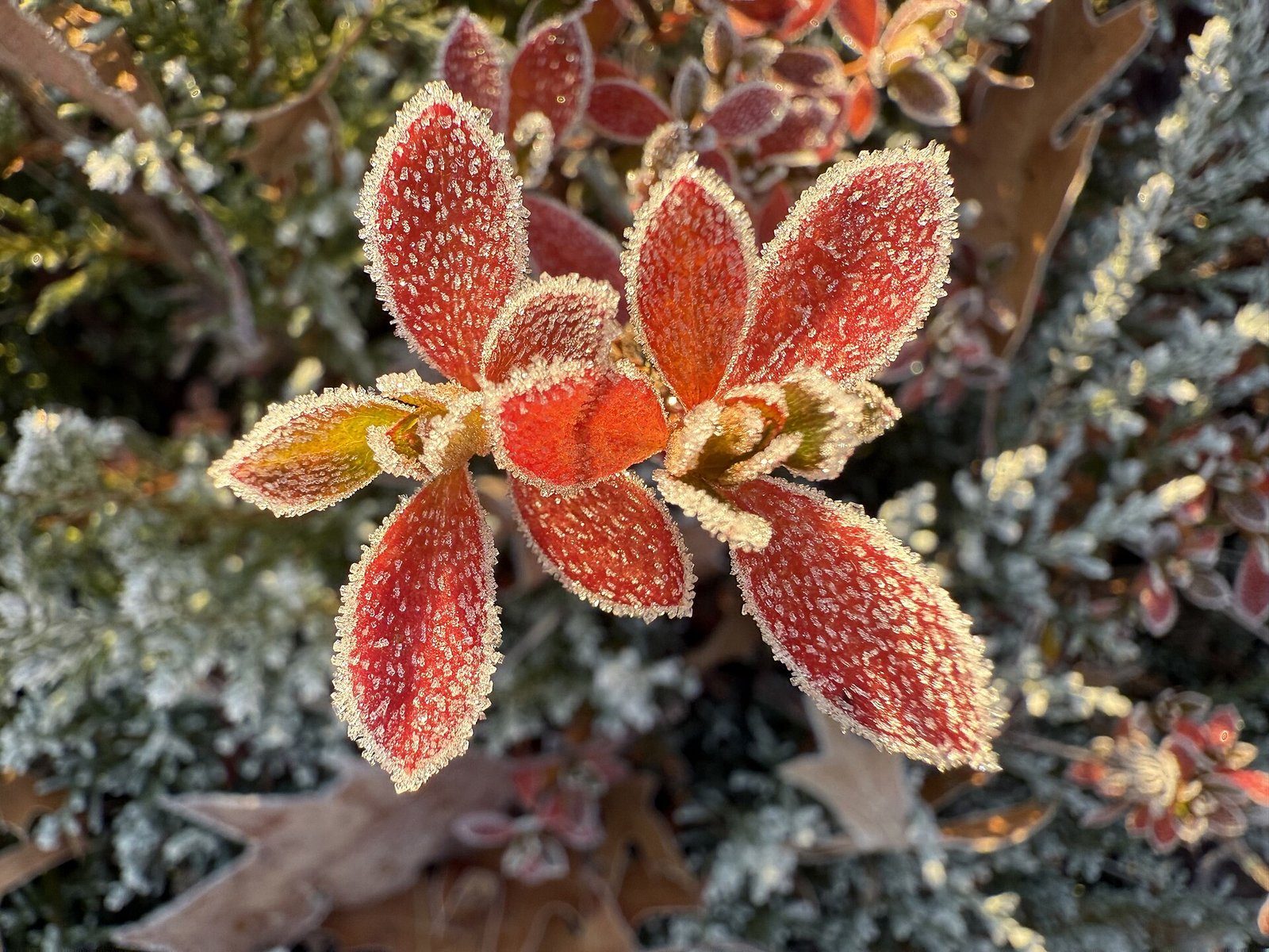
Who gets frost first
Frost follows a pretty reliable pattern across our area:
- Northwest New Jersey (Sussex, Warren, Morris and Hunterdon) gets it first. Higher ground is colder, and on calm nights, cold air drains downhill and pools in the valleys.
- The Pine Barrens are a surprise cold spot. Sandy soil gives up its heat quickly after sunset, so towns deep in the Pines can be some of the coldest in the state on clear nights, even though they're in South Jersey.
- The cities and the shore get it last. City pavement and buildings hold heat, and the ocean keeps the coast milder in the fall.
You can see it in a single night. On November 1, 2026, the National Weather Service's forecast lows across the towns we track ran from 29° in Newton to 47° in New York City. That's an 18-degree spread across about 50 miles.
What to do on a frost night
- Cover tender plants in the evening with a sheet, a light blanket or a frost cloth, letting it reach the ground. That traps the heat rising from the soil. Avoid plastic touching the leaves.
- Bring potted plants inside or into a garage.
- Water the soil during the day. Moist soil holds more heat than dry soil.
- Take the covers off in the morning once it warms up.
How we cover it
Our Morning Lows map shows how cold you'll wake up in every part of the area, and our alerts map shows any Frost Advisory or Freeze Warning in effect right now. On those nights, the daily write-up will call out which areas are under them.
- NWS Albany: frost/freeze program (fact sheet)
- NWS Binghamton: frost/freeze program
- NWS Atlanta: frost advisory and freeze warning criteria
- NWS forecast lows for Nov 1, 2026: NJ Weather Center daily forecast
For dangerous weather, always follow official National Weather Service warnings and your local emergency officials.